


All geophysical survey data, be it ground or airborne, contains errors. The objective of quality control is to ensure that the usability of the survey results is not impacted by these errors and that the data noise remains below set thresholds.
Airborne surveys are used predominantly for exploration of ore minerals, but can also be applied for fossil fuels and geothermal exploration, and in various engineering, land management and mapping projects. The technique measures physical parameters such as: rock density contrasts (gravity gradiometry), electrical conductivity (electromagnetic systems), radioelement concentration (Gamma-spectrometry), and percentage of magnetite (magnetics).
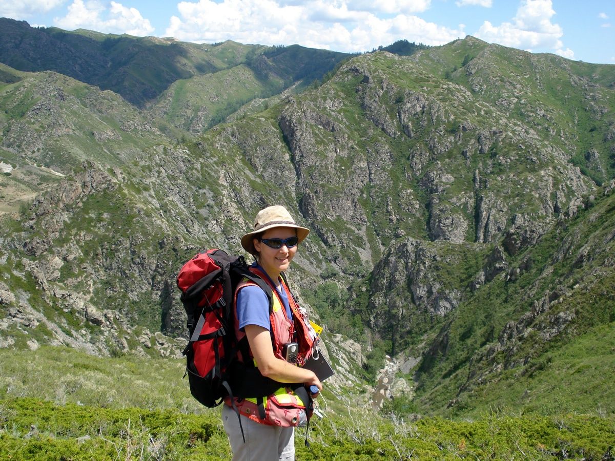
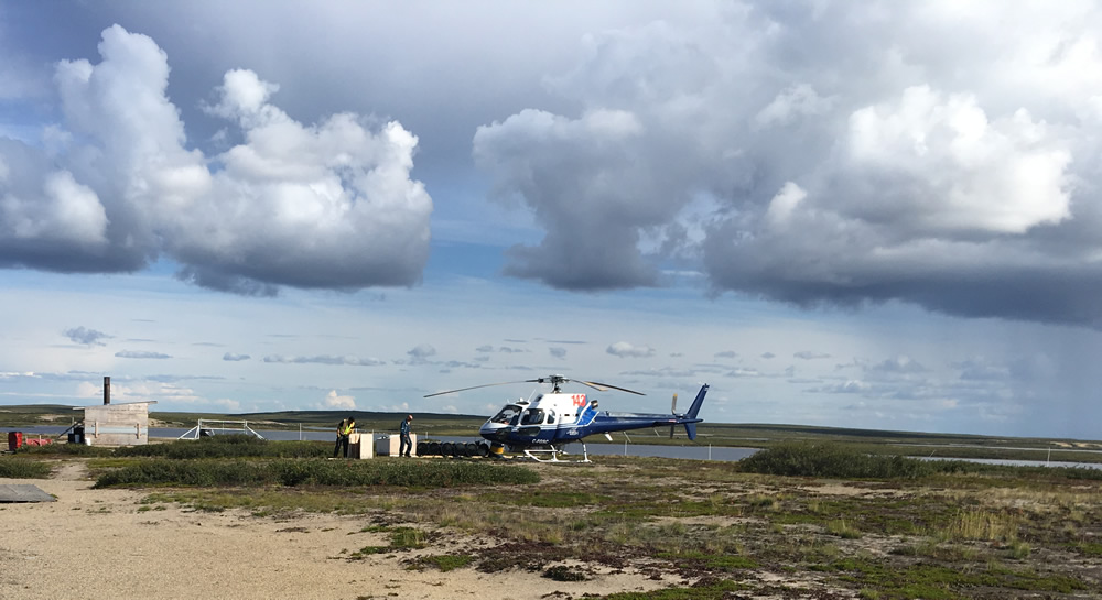
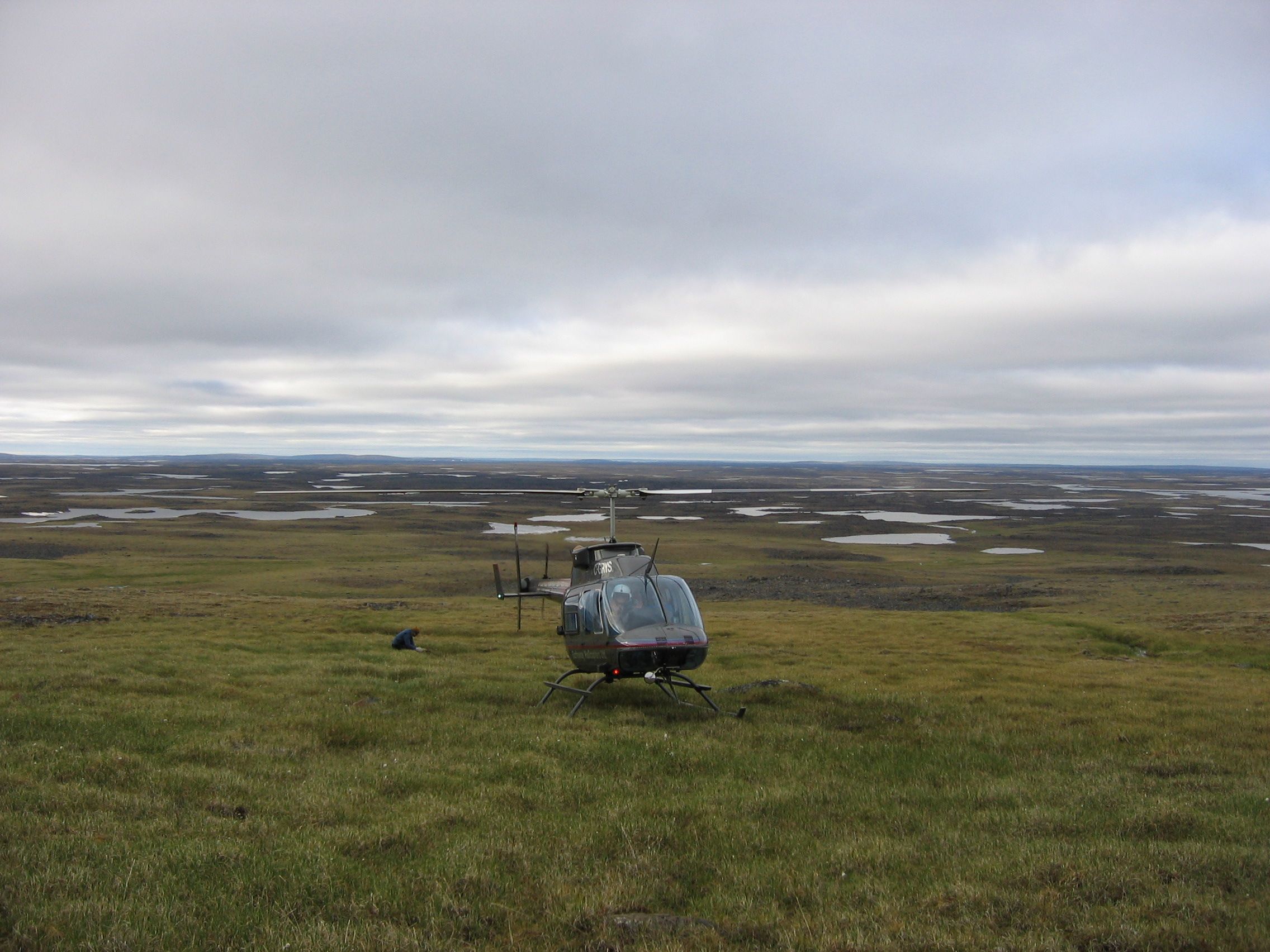
At this time of the year, many companies start their summer geological field programs, whether it be prospecting, trenching and rock sampling, soil sampling or drilling. With the pressures of day to day work, geologists may feel like there isn’t enough time to properly plan and prepare a field program, however this task should not be skipped or brushed over.
