


Our firm offers geophysical services and I am often asked if we complete ground geophysics in-house, which I find very curious. Perhaps explorers are under such pressure to get their surveys done ASAP, that requesting the firm that does the surveys in the field to interpret the data appears to be efficient. My worry is that going this route does not put in enough thought about how that survey is designed, who the best service provider is, if sufficient quality control was completed and how the data is interpreted.
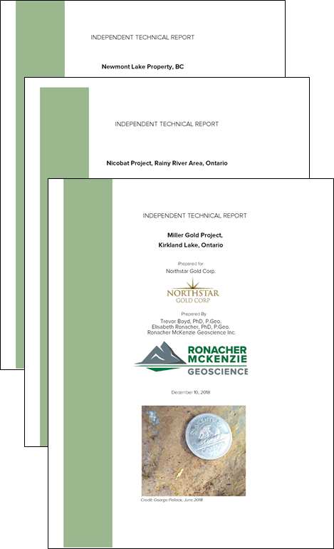
Completing independent technical reports prepared according to the standards of the National Instrument 43-101 - Standards of Disclosure for Mineral Projects (NI 43-101) is one of the services that Ronacher McKenzie Geoscience provides to clients for projects globally.
As a Geoscience consulting company founded by two women, Ronacher McKenzie Geoscience is passionate about increasing the gender balance in geosciences.

From time to time, we are asked to talk with University students about transitioning to working in industry. This is something we both really enjoy doing. We can relate to all of the questions and the uncertainties students feel while they are studying, and just what could lay beyond the ivory tower.
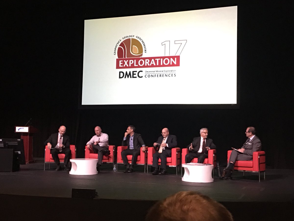
Exploration ’17 took place in Toronto in late October. In what felt like a bit of a whirlwind, geologists, geophysicists and geochemists gathered for a week to discuss the progress that was made in exploration during the last decade and what we expect to happen in the next 10 years. It was quite a conference, with a lot of fantastic talks, new information and thought-provoking discussion. We at Ronacher McKenzie Geoscience are still digesting the takeaway messages, but here are a few key highlights:
This week, the world’s mineral exploration community is gathering in Toronto to reflect on the last ten years of mineral exploration progress and discuss what we think the future will look like for our industry. This conference occurs every ten years dating back to 1967, and is organized by the Decennial Mineral Exploration Conferences (“DMEC”).
On Friday, October 6, 2017, the Ministry of Northern Development and Mines (“MNDM”) released a revised roll-out schedule for the final phase of modernizing Ontario’s Mining Act through their October 2017 bulletin. This will mark the end of claim staking in the province and the implementation of the new Mining Lands Administration System (MLAS). Please make note of the new dates as the change in key milestones may have an impact on your lands management strategies, obligations and decisions.
All geophysical survey data, be it ground or airborne, contains errors. The objective of quality control is to ensure that the usability of the survey results is not impacted by these errors and that the data noise remains below set thresholds.
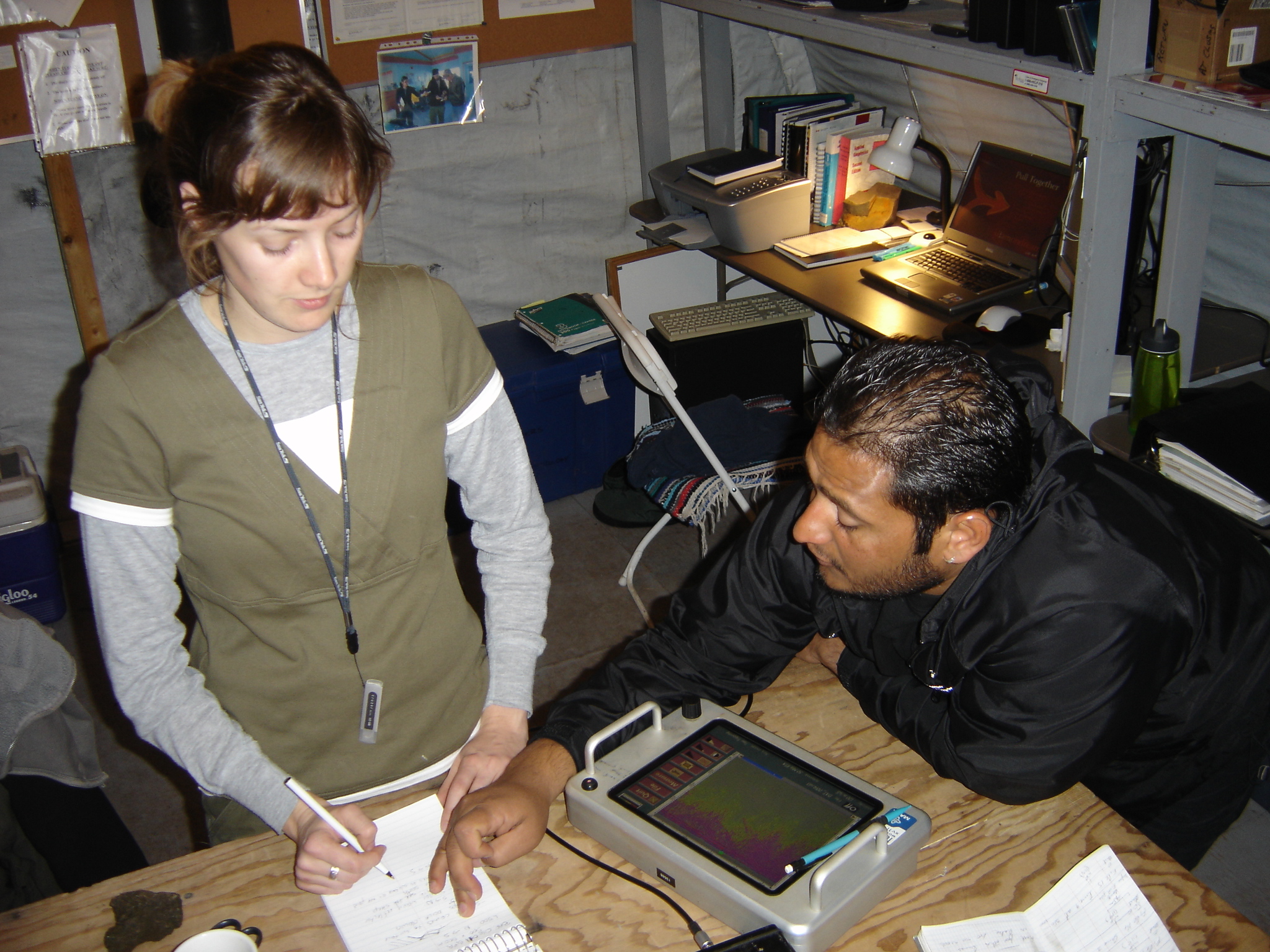
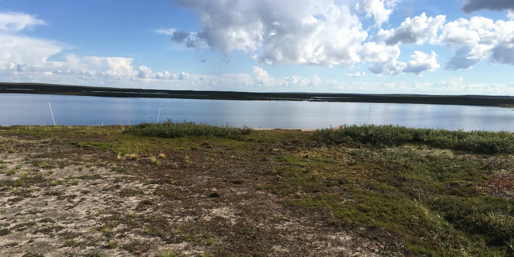
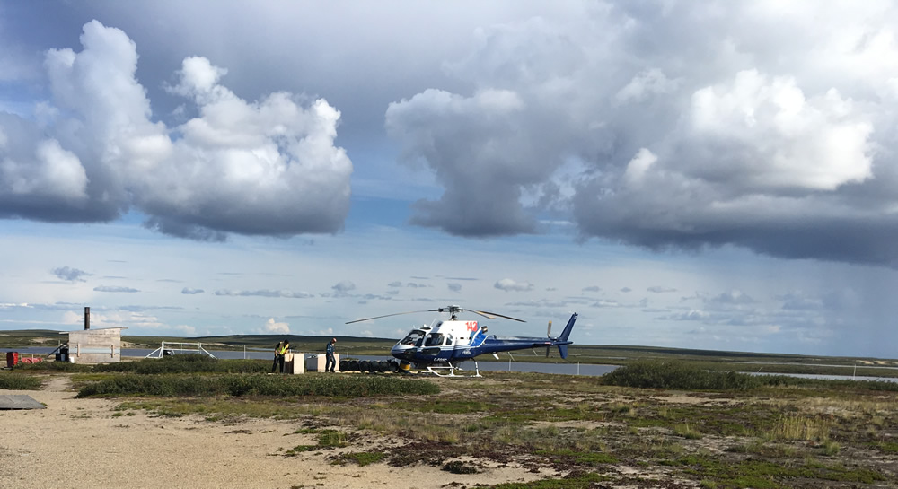
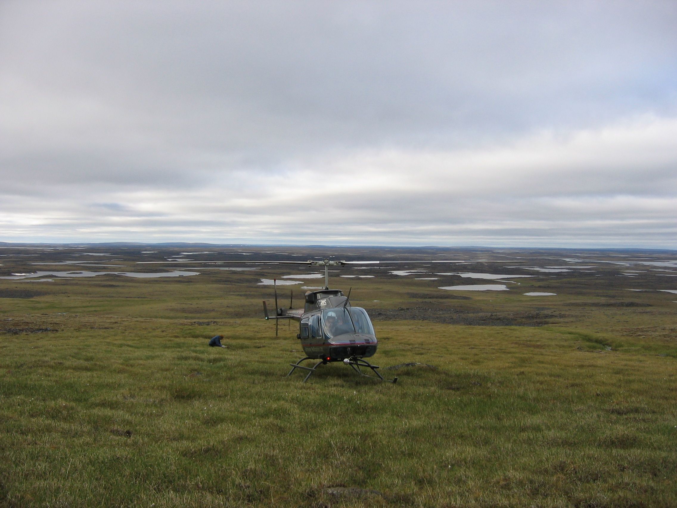
When we help our clients plan drilling programs one of the first things we do is assist the client with preparing a tender document that we typically send to at least three drilling companies. Prices vary greatly and the cheapest offer is not always the best deal for our client. We evaluate the proposals we receive from the drillers to ensure our clients get what they need. We make sure that we select a drill rig that is fit for the purpose; for example, we would not require a rig with a capacity to drill 2,000 m deep holes for a program that consist of drill holes of a depth of up to 200 m. In such a case, we would rather choose a lighter rig with a smaller environmental footprint.
Airborne surveys are used predominantly for exploration of ore minerals, but can also be applied for fossil fuels and geothermal exploration, and in various engineering, land management and mapping projects. The technique measures physical parameters such as: rock density contrasts (gravity gradiometry), electrical conductivity (electromagnetic systems), radioelement concentration (Gamma-spectrometry), and percentage of magnetite (magnetics).
