


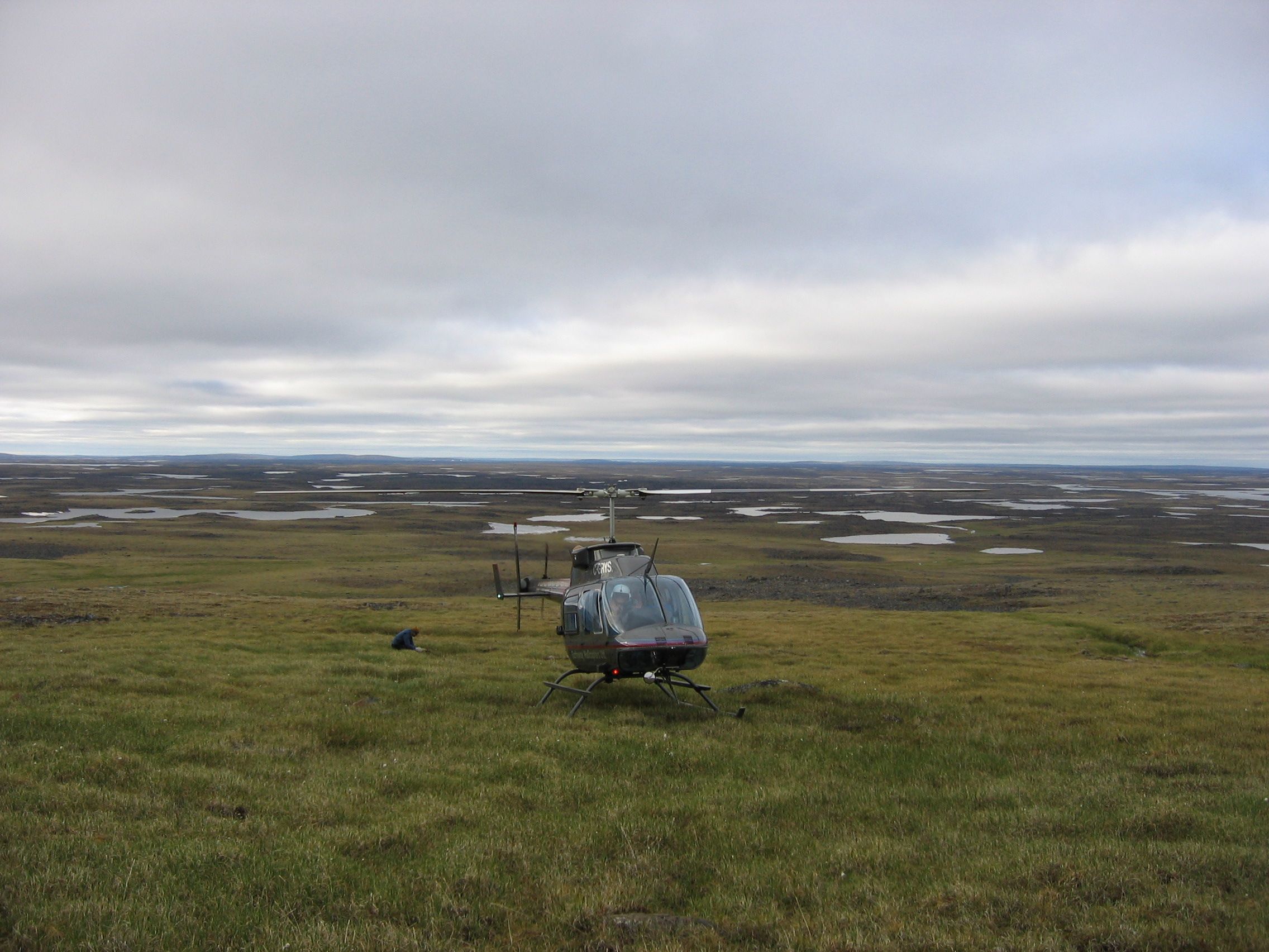
Airborne surveys are used predominantly for exploration of ore minerals, but can also be applied for fossil fuels and geothermal exploration, and in various engineering, land management and mapping projects. The technique measures physical parameters such as: rock density contrasts (gravity gradiometry), electrical conductivity (electromagnetic systems), radioelement concentration (Gamma-spectrometry), and percentage of magnetite (magnetics).

Lately, you may have heard about ‘machine learning’ or ‘artificial intelligence’ with respect to applying it to mineral exploration projects.
The reality is, we are overrun with datasets: drillhole data, petrophysics, airborne geophysics, ground geophysics, inversions, sampling data, structures, mineral chemistry, mapping and many other types of field data. We can get these datasets digitized and displayed in 3D, which ten years ago was still rather uncommon, but then what? There is only so much that the human eye can process visually.
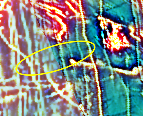
Tie lines or Control lines have always been used for the levelling of magnetic data, but essentially ignored with respect to other geophysical methods. How about using them, not in the traditional sense, but as a guideline to the overall sense of the regional gradient of a survey? Although the examples to follow are EM, this can equally be applied to other methods.
Whatever the geophysical survey type, I always believe in looking at the bigger picture.
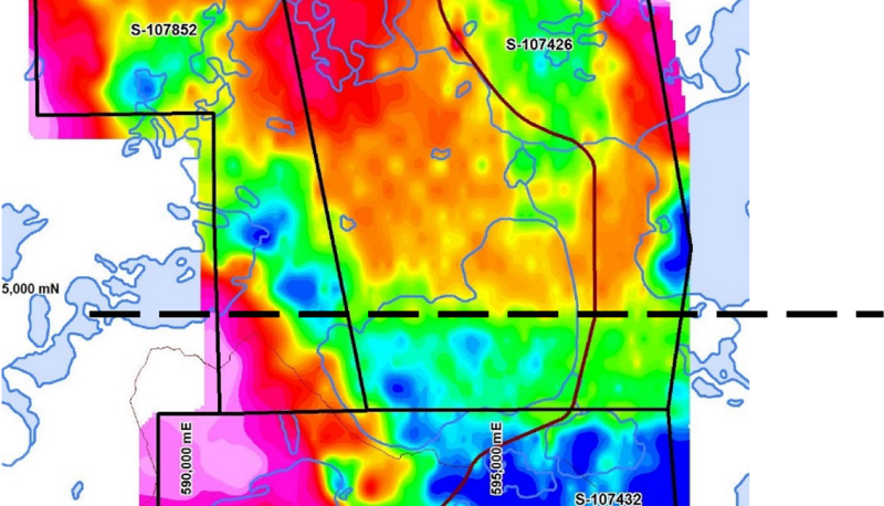
First it's important to review historic and regional-scale data such as regional government data, or any open source geophysical data that may have been conducted over nearby deposits. This can be helpful in identifying what geophysical signatures to look for in the current dataset.
