


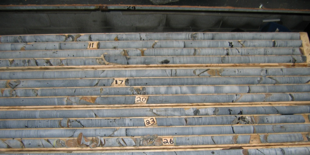
When we help our clients plan drilling programs one of the first things we do is assist the client with preparing a tender document that we typically send to at least three drilling companies. Prices vary greatly and the cheapest offer is not always the best deal for our client. We evaluate the proposals we receive from the drillers to ensure our clients get what they need. We make sure that we select a drill rig that is fit for the purpose; for example, we would not require a rig with a capacity to drill 2,000 m deep holes for a program that consist of drill holes of a depth of up to 200 m. In such a case, we would rather choose a lighter rig with a smaller environmental footprint.
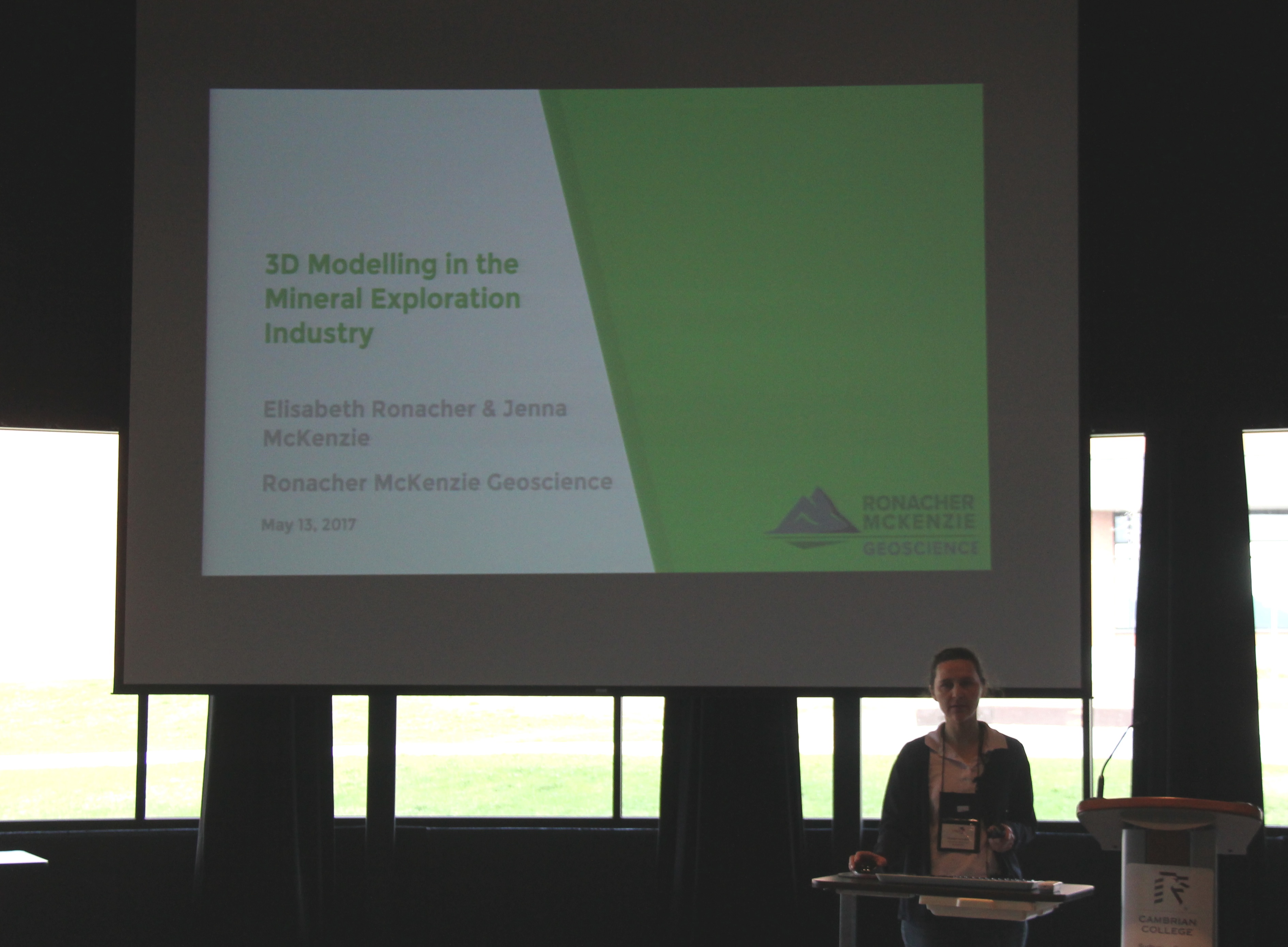
Each year in May, the PDAC organizes the Student Industry Mineral Exploration Workshop (“SIMEW”), a two-week workshop for about 25 of the best geology students from universities and colleges in Canada. The goal of the workshop is to expose students to all aspects of the mineral exploration industry, and in particular those areas that may not be part of an undergraduate curriculum.
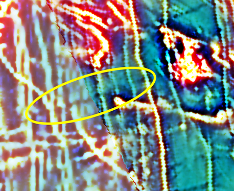
Whatever the geophysical survey type, I always believe in looking at the bigger picture.
First it's important to review historic and regional-scale data such as regional government data, or any open source geophysical data that may have been conducted over nearby deposits. This can be helpful in identifying what geophysical signatures to look for in the current dataset.
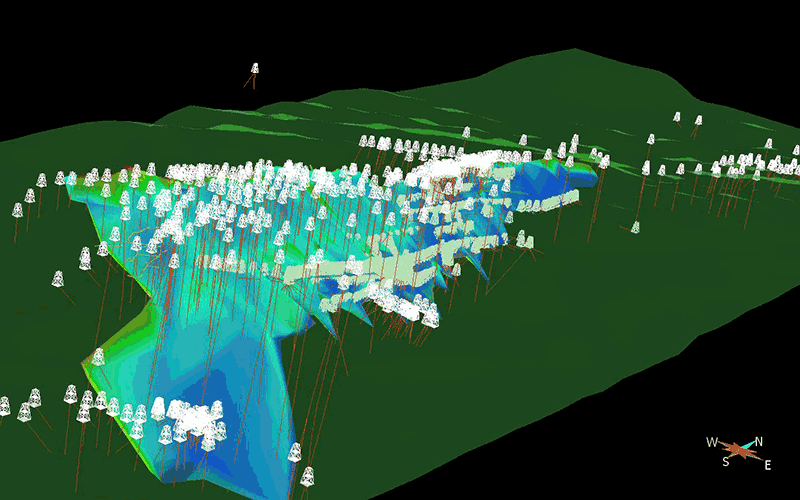
Geological modelling has come a long way from paper recording and charting.
Plotting drill hole data on cross-sections, and then flipping through the sections to determine whether rock units or mineralization extend from one section to the other, was a common procedure in the past. The result was a 2-dimensional model representing the 3-dimensional geological bodies. Interpretation and analysis was time consuming and tedious. The geologist needed to use their imagination to visualize the mineralized body or a lithological unit in 3D to better conceptualize what was subsurface.
And we are interested in the subsurface, which is not a two-dimensional thing.
