


When we help our clients plan drilling programs one of the first things we do is assist the client with preparing a tender document that we typically send to at least three drilling companies. Prices vary greatly and the cheapest offer is not always the best deal for our client. We evaluate the proposals we receive from the drillers to ensure our clients get what they need. We make sure that we select a drill rig that is fit for the purpose; for example, we would not require a rig with a capacity to drill 2,000 m deep holes for a program that consist of drill holes of a depth of up to 200 m. In such a case, we would rather choose a lighter rig with a smaller environmental footprint.
Elisabeth Ronacher

Recent Posts

Lately, you may have heard about ‘machine learning’ or ‘artificial intelligence’ with respect to applying it to mineral exploration projects.
The reality is, we are overrun with datasets: drillhole data, petrophysics, airborne geophysics, ground geophysics, inversions, sampling data, structures, mineral chemistry, mapping and many other types of field data. We can get these datasets digitized and displayed in 3D, which ten years ago was still rather uncommon, but then what? There is only so much that the human eye can process visually.
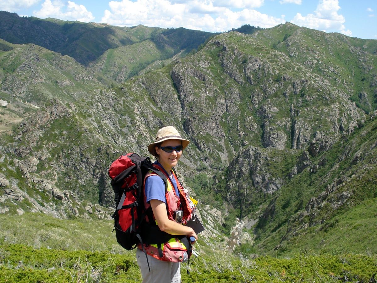
At this time of the year, many companies start their summer geological field programs, whether it be prospecting, trenching and rock sampling, soil sampling or drilling. With the pressures of day to day work, geologists may feel like there isn’t enough time to properly plan and prepare a field program, however this task should not be skipped or brushed over.
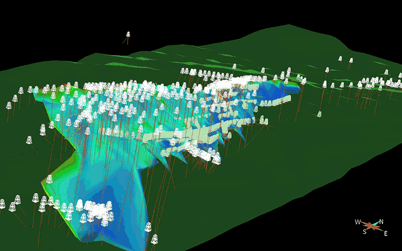
Geological modelling has come a long way from paper recording and charting.
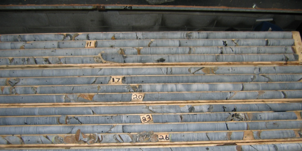
Plotting drill hole data on cross-sections, and then flipping through the sections to determine whether rock units or mineralization extend from one section to the other, was a common procedure in the past. The result was a 2-dimensional model representing the 3-dimensional geological bodies. Interpretation and analysis was time consuming and tedious. The geologist needed to use their imagination to visualize the mineralized body or a lithological unit in 3D to better conceptualize what was subsurface.
And we are interested in the subsurface, which is not a two-dimensional thing.
