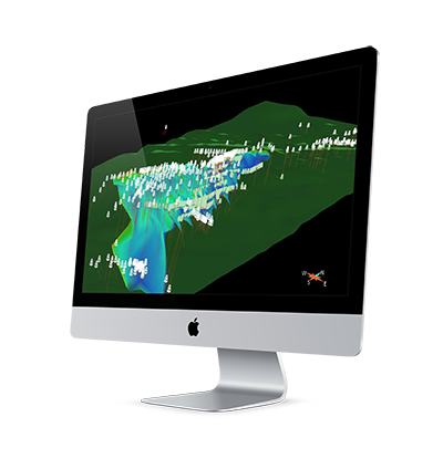
Geological modelling has come a long way from paper recording and charting.
Plotting drill hole data on cross-sections, and then flipping through the sections to determine whether rock units or mineralization extend from one section to the other, was a common procedure in the past. The result was a 2-dimensional model representing the 3-dimensional geological bodies. Interpretation and analysis was time consuming and tedious. The geologist needed to use their imagination to visualize the mineralized body or a lithological unit in 3D to better conceptualize what was subsurface.
And we are interested in the subsurface, which is not a two-dimensional thing.
Fortunately, we do not have to deal with paper cross-sections anymore. We can now visualize all sorts of data, from one dimensional point data such as rock or soil samples, to two-dimensional geophysical line surveys, to three-dimensional drill hole data or geophysical inversions.
 We are also no longer limited to user-unfriendly, hard-to-learn software packages. We are no longer limited to expensive software that junior exploration companies would not want to invest in. We now have the tools to upload, visualize and work with exploration data in 3D as the information becomes available in the field.
Improvements in 3D modelling software and a reduction in complexity and cost, means that the technology is widely accessible to the geological community, and better 3D insight can be obtained. Geological projects such as, structural framework, rock type, reservoir quality, fluid saturation, geo-statistics, and mineral deposits typically utilize this tool.
The benefits of 3D software in geology are game-changing and have accelerated the science.
Targeting is more efficient because all relevant data are in one space, rather than in a drawer! Targeting is also much more accurate because mineral exploration targets are three-dimensional not two-dimensional, and so the closer the model comes to representing reality the better our interpretation.
3D geo-modelling speeds up the exploration process dramatically, helps with decision making, provides instant feed-back and ultimately saves the company money.


