Perspectives Geoscience Blog

Machine Learning and Exploration

Posted by Elisabeth Ronacher Aug 2, 2017 9:15:44 AM | Integrated Geophysical Analysis

Lately, you may have heard about ‘machine learning’ or ‘artificial intelligence’ with respect to applying it to mineral exploration projects.

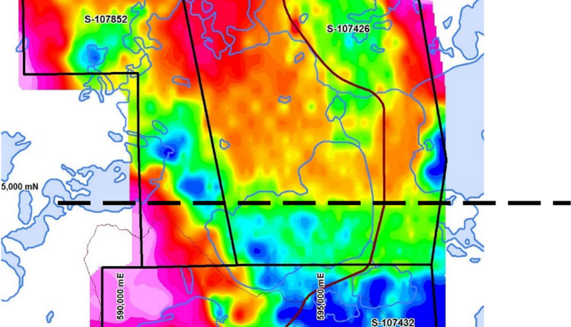
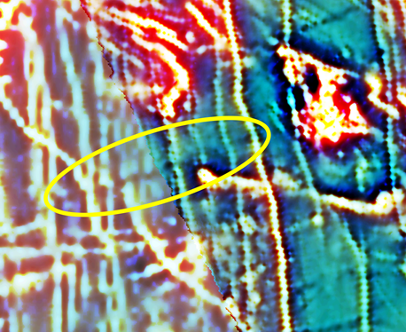
The reality is, we are overrun with datasets: drillhole data, petrophysics, airborne geophysics, ground geophysics, inversions, sampling data, structures, mineral chemistry, mapping and many other types of field data. We can get these datasets digitized and displayed in 3D, which ten years ago was still rather uncommon, but then what? There is only so much that the human eye can process visually.

Conversion Planning for Ontario Claim Holders

Posted by Tania Poehlman Jul 19, 2017 2:14:11 PM | Lands Management, Mining Act

Where to Start

The fabric, method of acquisition and management of unpatented mining claims in Ontario is about to change.

Are you ready?

The traditionally manual system of ground and paper staking and managing unpatented mining claims in Ontario will be replaced with an innovative online Mining Lands Administration System referred to as “MLAS”. Upon “conversion” to the online system, all active unpatented claims will be converted from their place on the land being legally defined by claim posts on the ground or by township survey to being legally defined by their cell and coordinate location on the provincial grid in CLAIMaps.

Planning Your Summer Geological Field Work Program

Posted by Elisabeth Ronacher Jul 3, 2017 4:55:18 PM | Field Projects

At this time of the year, many companies start their summer geological field programs, whether it be prospecting, trenching and rock sampling, soil sampling or drilling. With the pressures of day to day work, geologists may feel like there isn’t enough time to properly plan and prepare a field program, however this task should not be skipped or brushed over.

Meet The Team - Brenda Sharp, Senior Geophysicist

Posted by Jenna McKenzie Jun 19, 2017 8:00:00 AM | Meet The Team

We're very pleased to introduce you to another talented member of our team - Brenda Sharp, Senior Geophysicist at Ronacher McKenzie Geoscience. Brenda shares with us a little background on her early career influences, and some experiences working in Australia and Canada, in this meet the team post.

Tie Lines Can Be Used For More Than Constraining Magnetic Data

Posted by Brenda Sharp Jun 9, 2017 4:26:06 PM | Integrated Geophysical Analysis

Tie lines or Control lines have always been used for the levelling of magnetic data, but essentially ignored with respect to other geophysical methods. How about using them, not in the traditional sense, but as a guideline to the overall sense of the regional gradient of a survey? Although the examples to follow are EM, this can equally be applied to other methods.

Volunteering at the Student Industry Mineral Exploration Workshop, SIMEW

Posted by Ronacher McKenzie Geoscience Team May 30, 2017 7:39:58 AM | Industry Contributions, 3D Modelling, Speaking Engagements

Each year in May, the PDAC organizes the Student Industry Mineral Exploration Workshop (“SIMEW”), a two-week workshop for about 25 of the best geology students from universities and colleges in Canada.  The goal of the workshop is to expose students to all aspects of the mineral exploration industry, and in particular those areas that may not be part of an undergraduate curriculum.

Sharing Experiences at the U of T Earth Ring Ceremony

Posted by Jenna McKenzie May 9, 2017 11:40:51 AM | Speaking Engagements, Industry Events, Meet The Team

On April 20th, 2017, I was honoured to speak to the University of Toronto Earth Science graduating class at the "Earth Ring" ceremony.

The Earth Science Ring Ceremony was started at the University of Alberta in 1975, and has been adopted by other academic instituations across Canada. It's a ritual of welcome into the profession for newly qualified geologists and geophysicists. Each graduating student is presented with a ring, marked with the cossed hammer of geology and with the seismic trace of geophysics. It symbolizes the commitment and responsibility that comes with the geoscience profession. 

Meet the team - Farzaneh Farahani, Project GeoPhysicist

Posted by Jenna McKenzie Apr 21, 2017 11:15:44 AM | Meet The Team

Farzaneh Farahani is a Project Geophysicist with Ronacher McKenzie Geoscience, with more than 10 years implementing and delivering research and exploration geophysical projects. She is a geophysicist with a passion for sustainable exploration to protect the environment, and brings extensive experience and knowledge to our team.

We’d like to share with you Farzaneh’s story.

The big picture view gives better insight into current geophysical datasets

Posted by Brenda Sharp Apr 11, 2017 5:55:09 PM | 3D Modelling, Integrated Geophysical Analysis

Whatever the geophysical survey type, I always believe in looking at the bigger picture.

First it's important to review historic and regional-scale data such as regional government data, or any open source geophysical data that may have been conducted over nearby deposits. This can be helpful in identifying what geophysical signatures to look for in the current dataset.

Connecting with the mineral industry at PDAC

Posted by Jenna McKenzie Mar 29, 2017 12:51:14 PM | Speaking Engagements, Industry Events

Ronacher McKenzie Geoscience attended the Prospectors & Developers Association of Canada’s (PDAC) 2017 Convention, March 5 to 8, at the Metro Toronto Convention Centre. The convention is regarded as the premier international event for the mineral industry, and in recent years attracted attendees from 125 countries. It connects the global mining community for networking, investment opportunities, technical sessions, and short courses.